Friday, April 24, 2015
Having tackled our first multi night backpacking trip, we were anxious to get back to civilization for a hot shower and cold beer. But first, a hot meal was in order. We stopped at a cute, country-side restaurant and store close to the North Carolina border for lunch. As we stepped onto the wooden front porch, I spotted a neon pink sign with fat, glowing letters at the entrance stating, “We reserve the right to refuse the service to anyone”. Nervously I looked down at us, worried that we would not be served due to our greasy hair and robust hiking stench, which smelled at least 3 miles against the wind. Luckily we somehow passed the evaluation process and we were seated; however, in a separate room and away from all the other guests.
As we continued our drive towards Grandfather Mountain, our route led us through Boone, North Carolina, home of Appalachian State University and not much else. Something about the town caught our fancy, and shortly after we decided to spend the night. As we drove through town we passed a rundown motel located right next to the police station and I thought, “Hmm, that must be the safest Motel ever!” Little did I know, we would spend the night there. What are the odds? It was indeed safe, we just could not touch anything and had to sleep in our sleeping bags to avoid the bed bugs. In the end, however, a hot shower was well worth the discomfort.
Excited to paint the little mountain town red, we were obligated to stop by at the Lost Providence Brewery for a refreshing sampling. I had to try their special release beer, a Chai Tea Brown Ale. Yum! I could not dream of a better road trip so far. Exploring the highlights of craft beer as we cruise through the country is just divine.
Saturday, April 25, 2015 – Sunday, April 26, 2015
I encountered my first rat of the trip and it didn’t even phase me. Wow, this road trip has really changed me already! In my previous life, I wasn’t even able to see a rat on TV without being mortified. Now, I feel rather amused by the sight of the little creatures. We spotted him while having breakfast at a highly recommended restaurant with a line wrapped around the corner. Breakfast was great and we avoided the rain while being amused as the rat scurried past the window several more times, each time with a bigger piece of bread in its mouth. The rest of the rainy day was spent at a local Starbucks where we caught up on some of our writing.
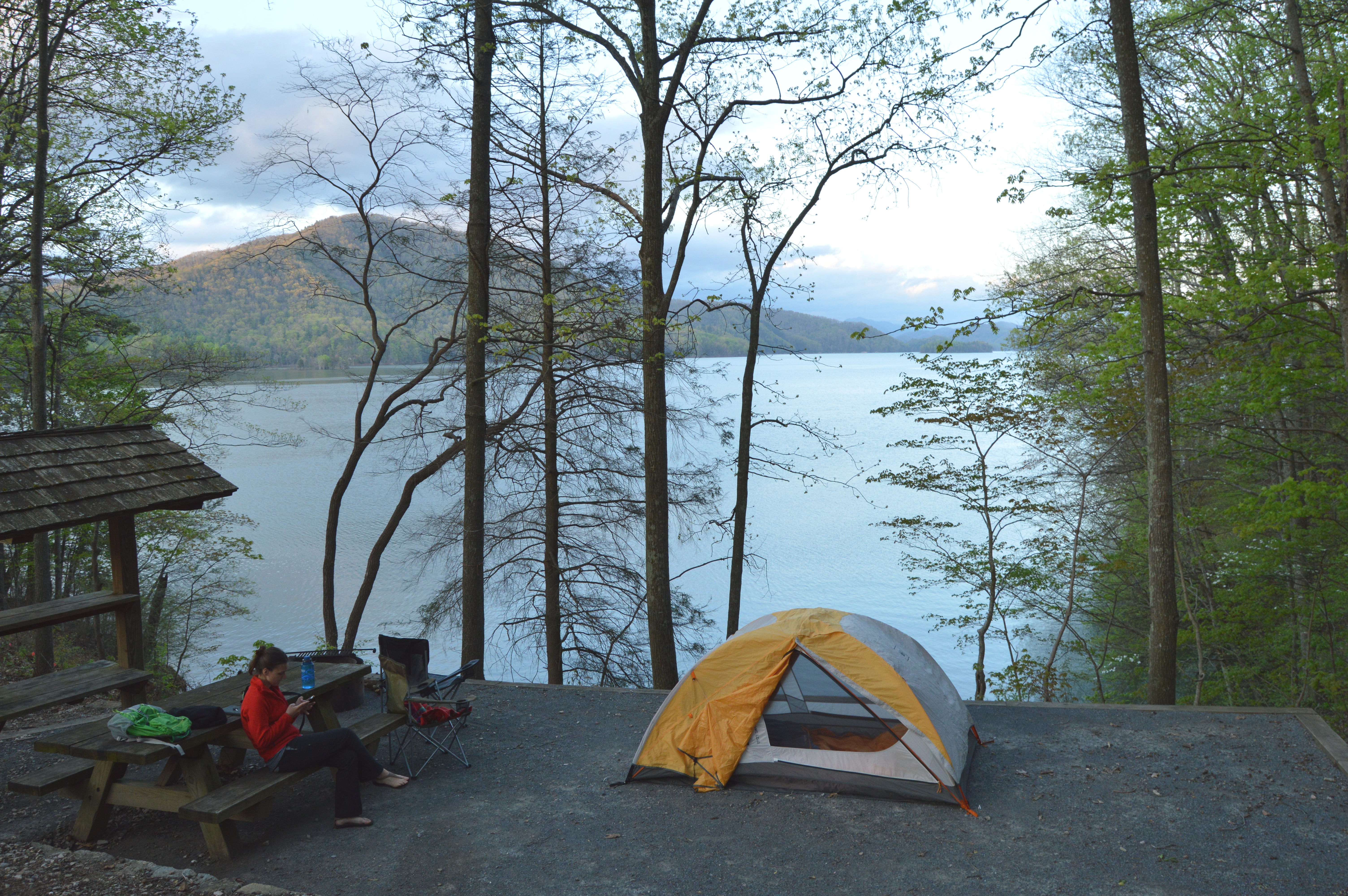
As the rain continued, we decided to spend the night at Cardens Bluff Campground, where we found a spot directly at the lake side. We loved our camp site so much that we immediately decided to stay another night. Coincidentally, the weather did not disagree with our decision and provided us with bursts of rain that lasted for our full stay. Luckily this gave us the opportunity to enjoy a deluxe relaxation day on the campsite watching Netflix and enjoying some beers that we had stashed away.
Monday, April 27, 2015
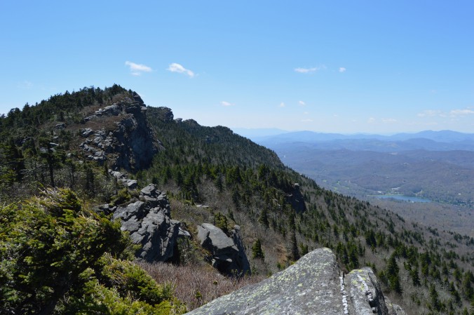
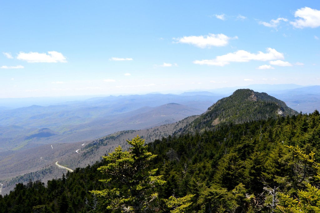
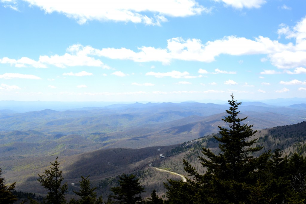
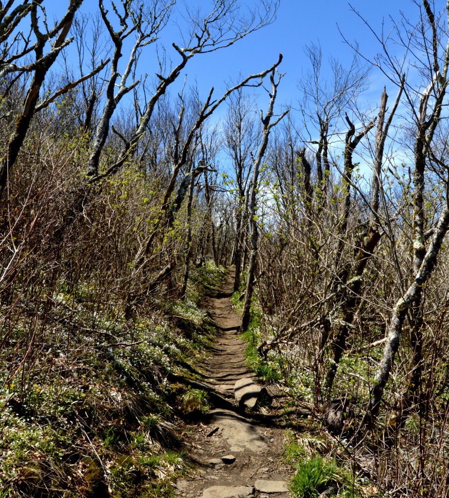
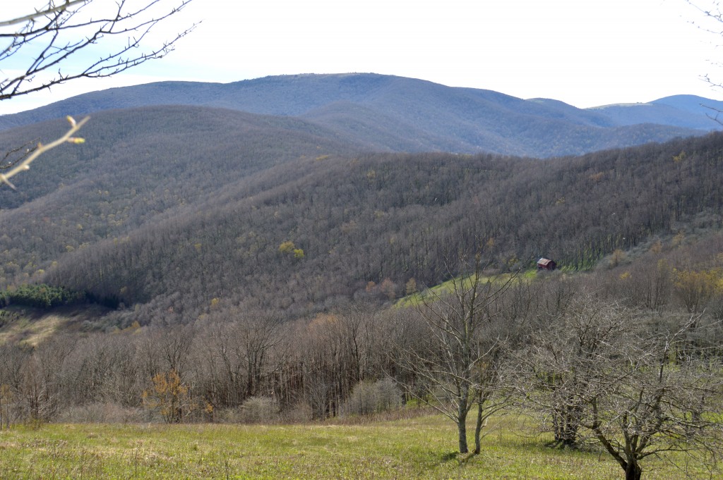
After some much needed R&R, we headed toward our next adventure at Grandfather Mountain in western North Carolina. Our route gave us our first glimpse of the Blue Ridge Parkway and the surrounding mountains and valleys. We began our hike by heading up the Daniel Boone Scout Trail, where we felt as if we were magically placed back in time. It was as if we were pioneers, following the ghost of Daniel Boone, exploring the great unknown forests of North Carolina. The dense woods blanketed us like a cocoon, with its lush greens and seemingly hundred year old, moss covered trees, whose roots grew out of the ground like tentacles reaching for prey.
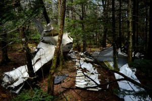
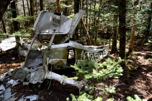
As we followed the switchbacks we found one of the more recent victims the forest had claimed below the summit of Calloway Peak. James’ trained eyes spotted the wreckage of a small, single engine plane, whose pilot got lost in the clouds and crashed, fatally in 1978.
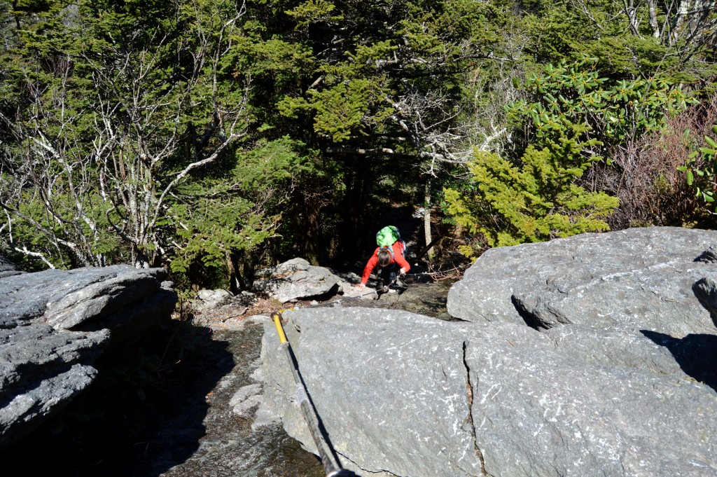
After crossing several false peaks and peering over numerous overlooks, we approached a huge boulder that resembled a gate to a different world. The forest became darker, colder, and rockier as we continued.
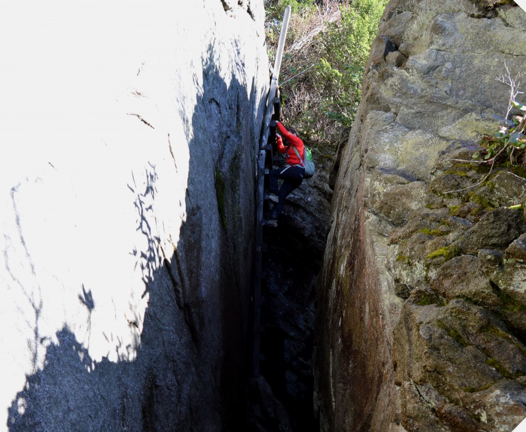
Our route included several wooden ladders, which required many reassuring deep breaths in order to proceed up the rungs. Some boulders were so steep and slippery that we needed to pull ourselves up use steel cables that were bolted into the rock faces.
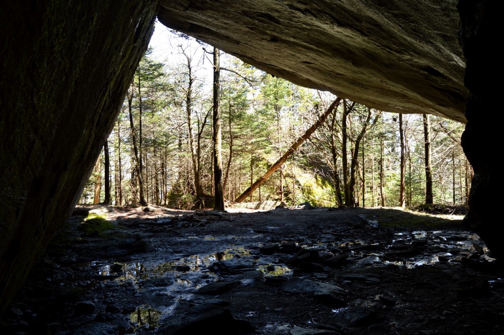
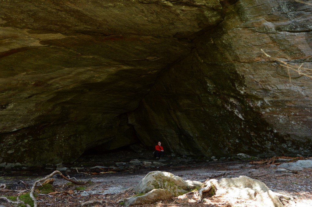
Continuing up the trail, we took a side route to visit Indian House Cave, which allowed us to take a short break and refuel before heading toward the next summit.
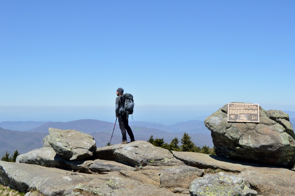
After many hours and miles we reached the end of the trail at the touristy mile high swinging bridge at the end of the mountain range. In my eyes, our final destination looked more interesting on Google than in person and I even think James was a little disappointed by the sight of the bridge. The hike taught us a valuable lesson. Most times it’s about the journey, and not the destination.
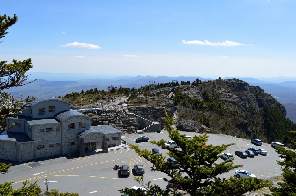
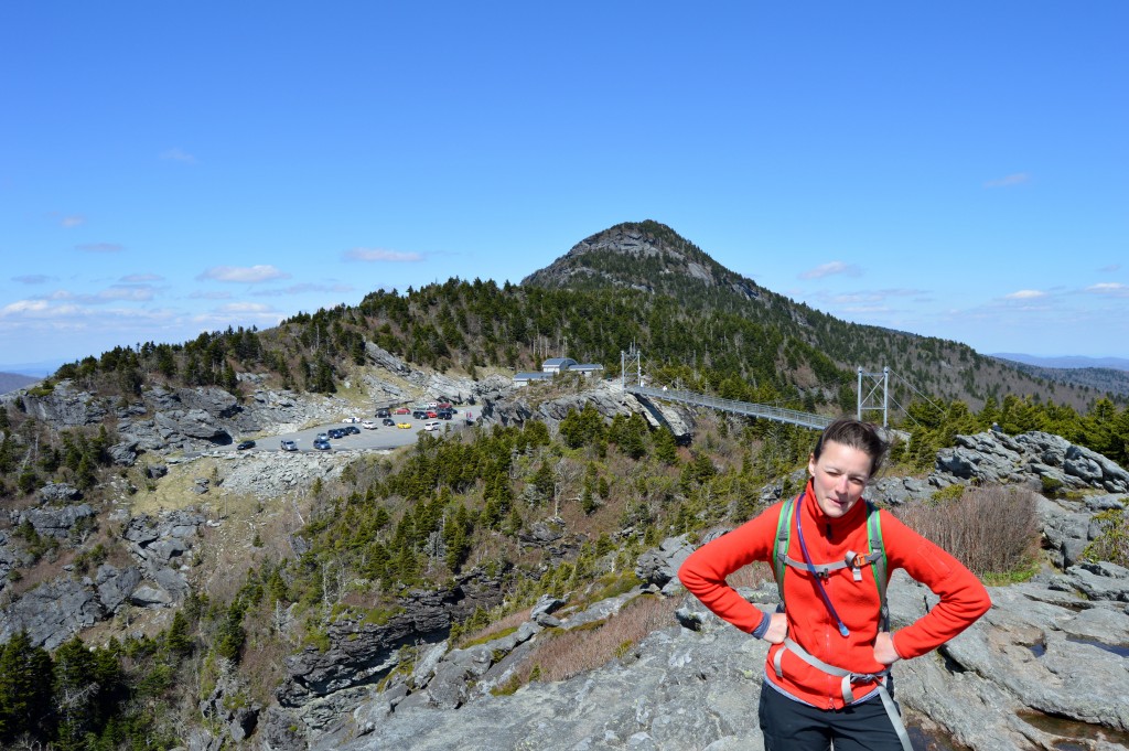
Due to the wind and temperature, we spent a maximum of 5 minutes exploring the bridge and surrounding overlooks. Also, to our surprise, the clock already showed 4:00 pm and we needed to return the way we came before finding a campsite for the night.
On our way back, we tackled the boulders like ninjas until we realized that the alternative route we had chosen, which we thought would be easy, was actually more difficult than the main trail. Luckily, our new route, the Underwood Trail, paralleled the main trail for only a mile before joining it again. Once back on the main trail, we were able to pick up our pace so that we could get to the car before nightfall.
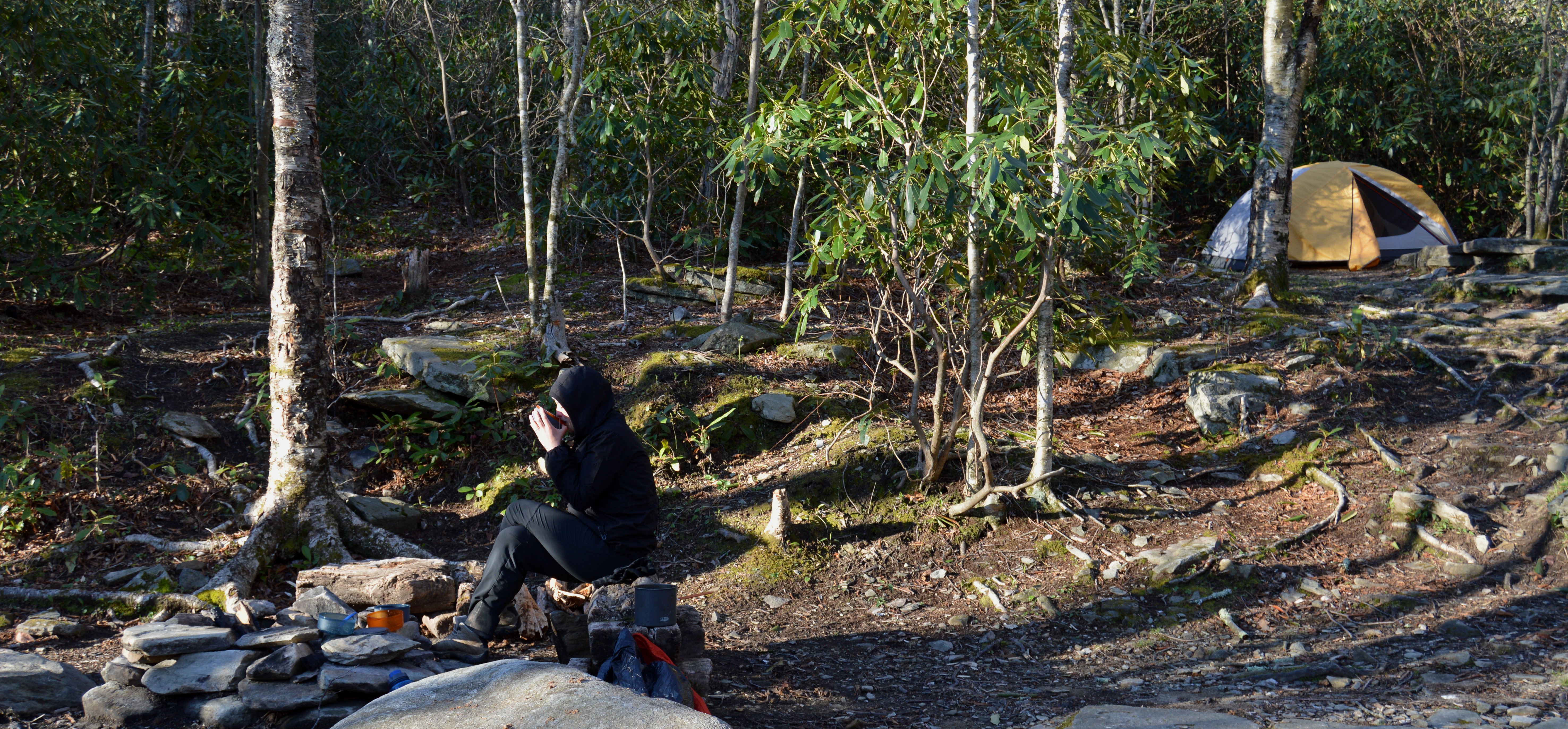
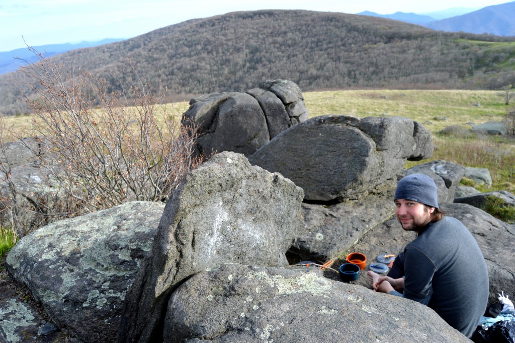
Back at the car, we quickly switched out our day packs for overnight packs and headed back up the trail toward the campsites. Since we had less than an hour of daylight left, we wisely decided to stay at the closest campsite along the trail, the “Creekside” campsite. It satisfied our needs for the night perfectly. Fresh water was nearby (hence the name) and James was able to use the already installed bear cables to protect our food, which saved us some time. Perfect, we thought. Although, it turned out that we had setup our tent on a steeper slope than I had originally thought, and I experienced the worst night so far on our trip. There would be no sleep for me due to the fact that I was constantly having to clench on to my sleeping pad in order not to slide down the hill into the tent side.
[sgpx gpx=”/wp-content/uploads/gpx/GrandfatherMt.gpx”]
Tuesday, April 28, 2015
Nourished with a banana, blueberry oatmeal, and warming vanilla tea, all prepared by my loving husband, the world started to look a little bit better in the morning. We packed up our camp and hiked out the short mile to the parking lot. We were eager to climb our next mountain, Roan Mountain, which had been visible in the distance from our hike the previous day. We arrived at the Mountain Harbour B&B, which provided us with a convenient shuttle ride to Carvers Gap near the top of the mountain. I have to admit, at first I was a little skeptical about the pricing and if the shuttle was actual needed, but as we drove up the mountain, I reevaluated my judgement rapidly. As we arrived, I concluded that the ride was absolutely worth every dime.
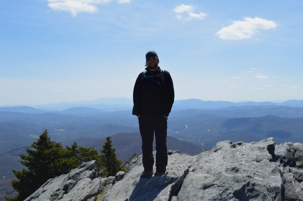
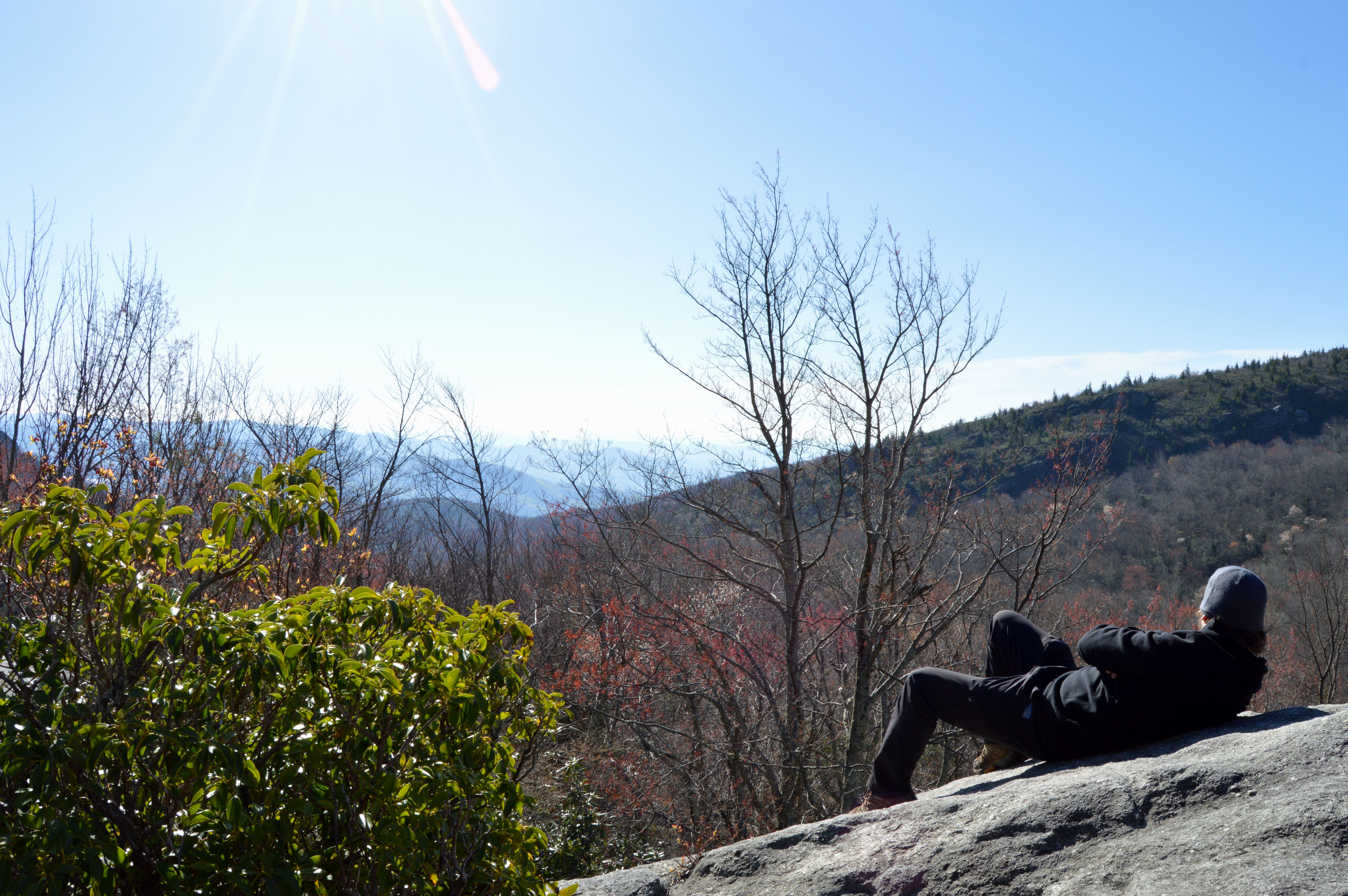
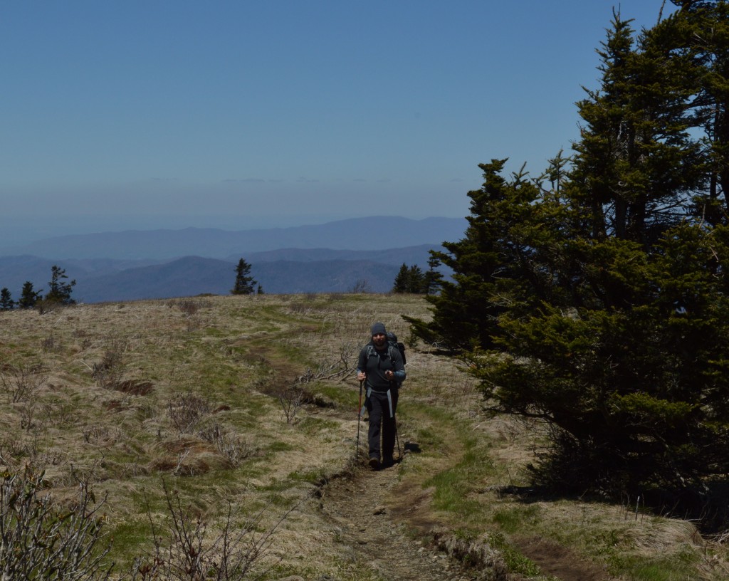
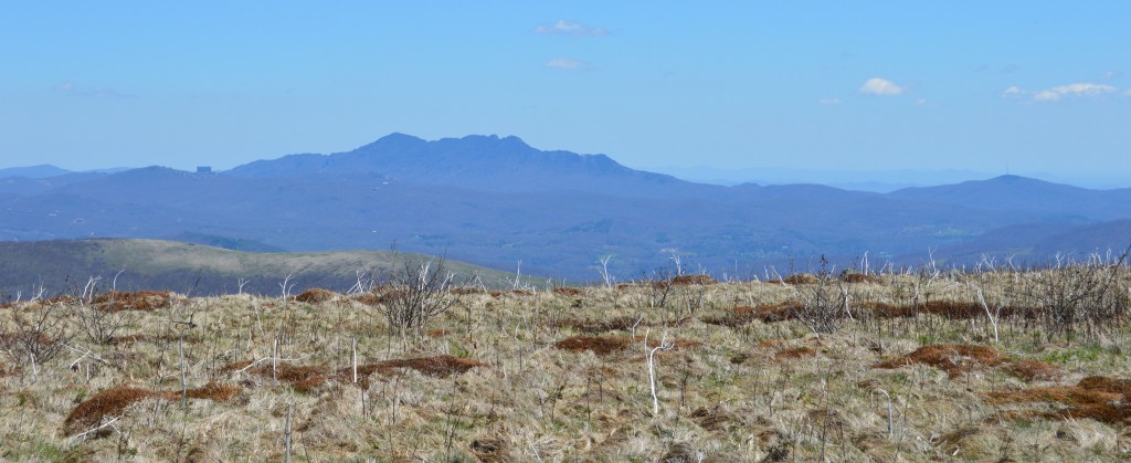
From the first moment I stepped onto the trail I was in love. I felt the sun warming my whole body while I inhaled the fresh, crisp mountain air. As we climbed out of Carvers Gap, the landscape reminded me of my childhood, where I spent the summers in the highlands of Austria running barefoot through the fields of grass waving in the winds. Seeing the trail in front of us, leading up to the first bald put me almost into a trance like state of mind. The rhythm of my steps was in accordance with my breathing and my hiking poles. Reaching our second bald, Jane Bold, we stopped for a short lunch break and enjoyed the 360 degree, panorama view while eating our favorite lunch, tuna sandwiches.
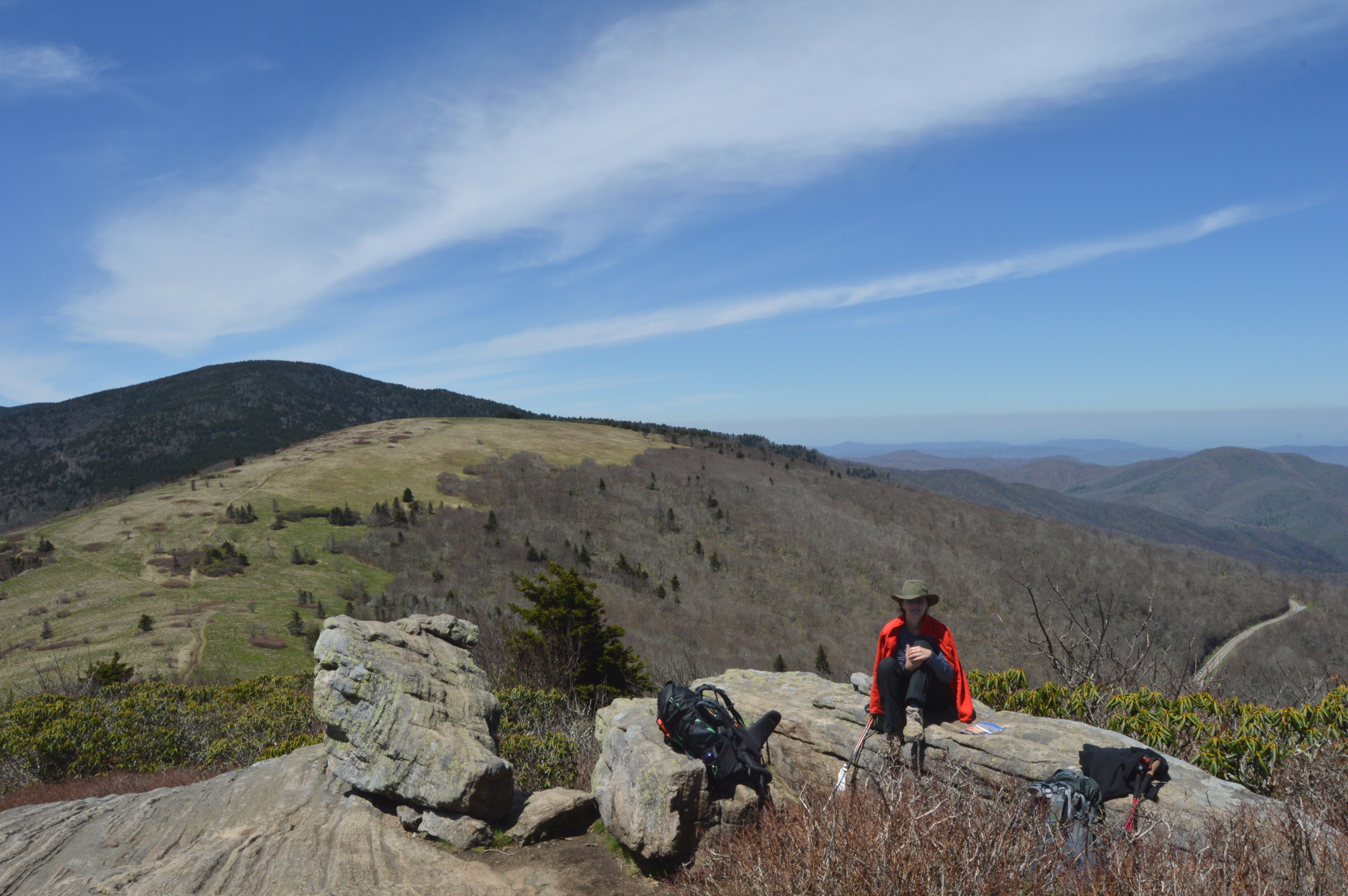
After lunch we continued up the mountain and took a side trail up to Grassy Ridge where we got lost for a bit before returning down the same trail we climbed.
Continuing along the Appalachian Trail the landscape quickly changed from grassy, bald mountain tops into a wooded area blanketed in wildflowers as we descended toward another gap. After 7.5 miles we reached the Overmountain Shelter also known as “The Barn” to AT hikers. We stopped there to take off our packs and enjoy the view over the valley for a little while. A thru-hiker, who was spending the night at that shelter, recommended to stay the night so that we could watch the sunrise in the morning. However, it was only 3:40 pm so we pulled our packs back on and pushed on further up the trail. According to the latest weather forecast, we could expect rain around noon the next day so we wanted to get as many miles under our belts as possible in order to avoid hiking in the rain.
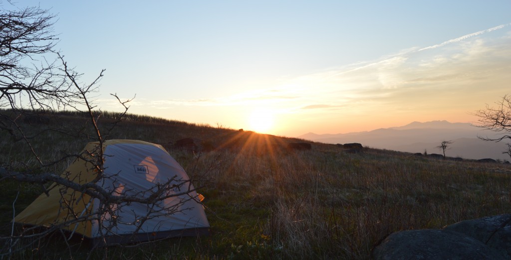
At the top of Little Hump Mountain, another bald with a 360 degree view, we decided to stop and unload our packs in the grassy area and set up camp.
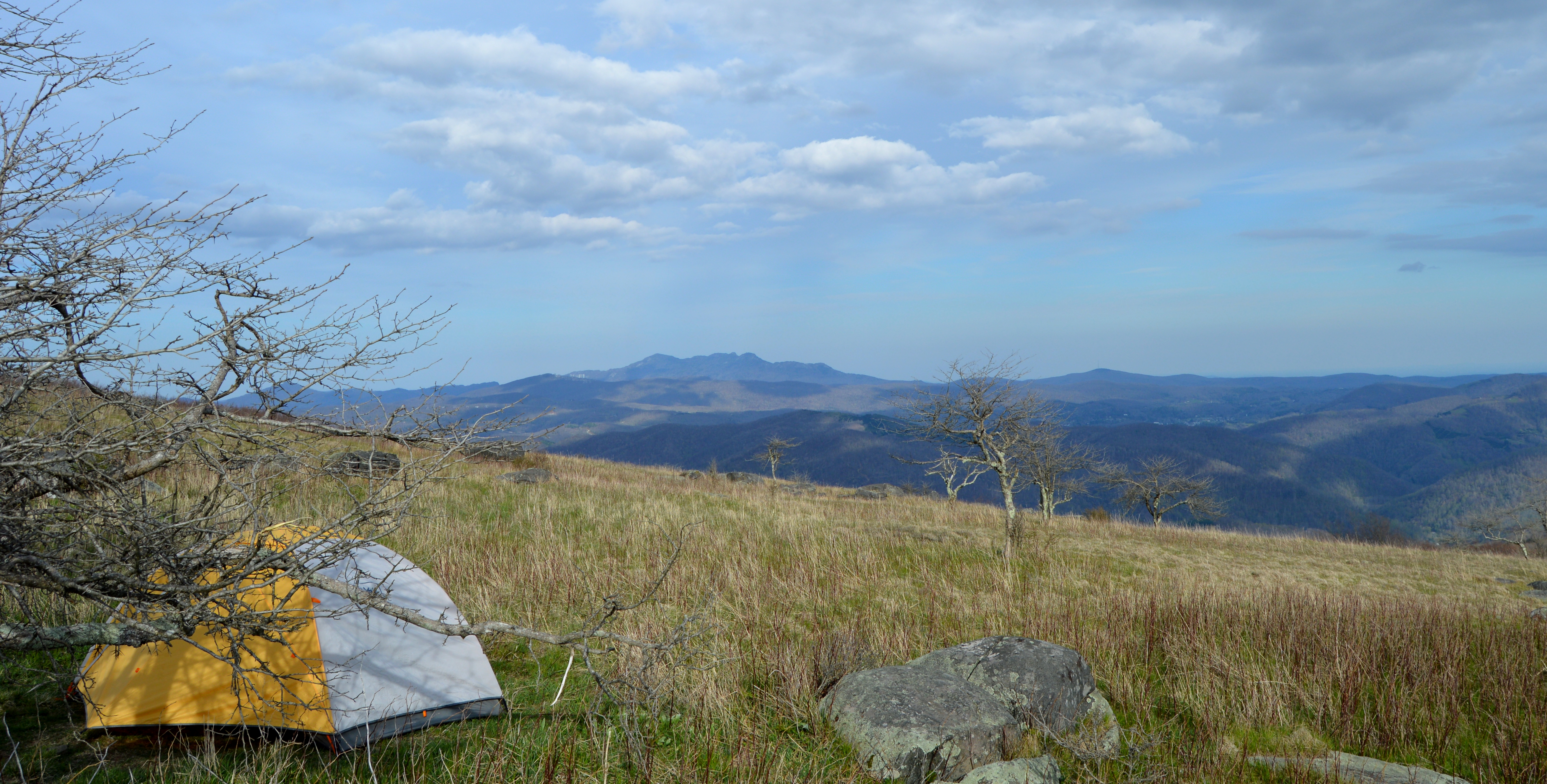
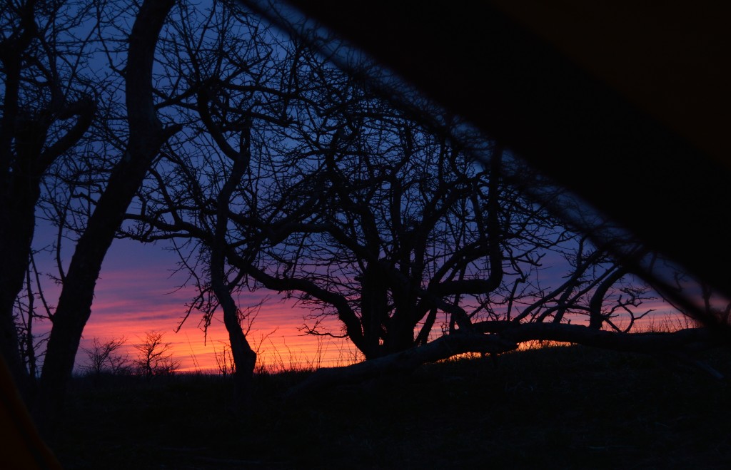
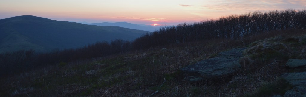
The campsite could not have been any more beautiful. James prepared a delicious rice dish, which we enjoyed on nearby boulders while watching a spectacular sunset. I was so happy that we decided to push on and left the crowded shelter. It was almost as we were alone on this earth, nobody around us, just the two of us. The soft pink and purple shades of the sunset turned the harsh landscape with its thorn trees and boulders into a calming and beautiful, soothing landscape. It was hard to admit to ourselves that we would be leaving this little paradise on the top of the mountain.
Wednesday, April 29, 2015
On the next day we woke up before sunrise with the hope to catch the sun from our tent. However, the freezing wind and an ocean of clouds made this a difficult feat, and so we bundled up and enjoyed our dehydrated scrambled eggs meal in our tent.
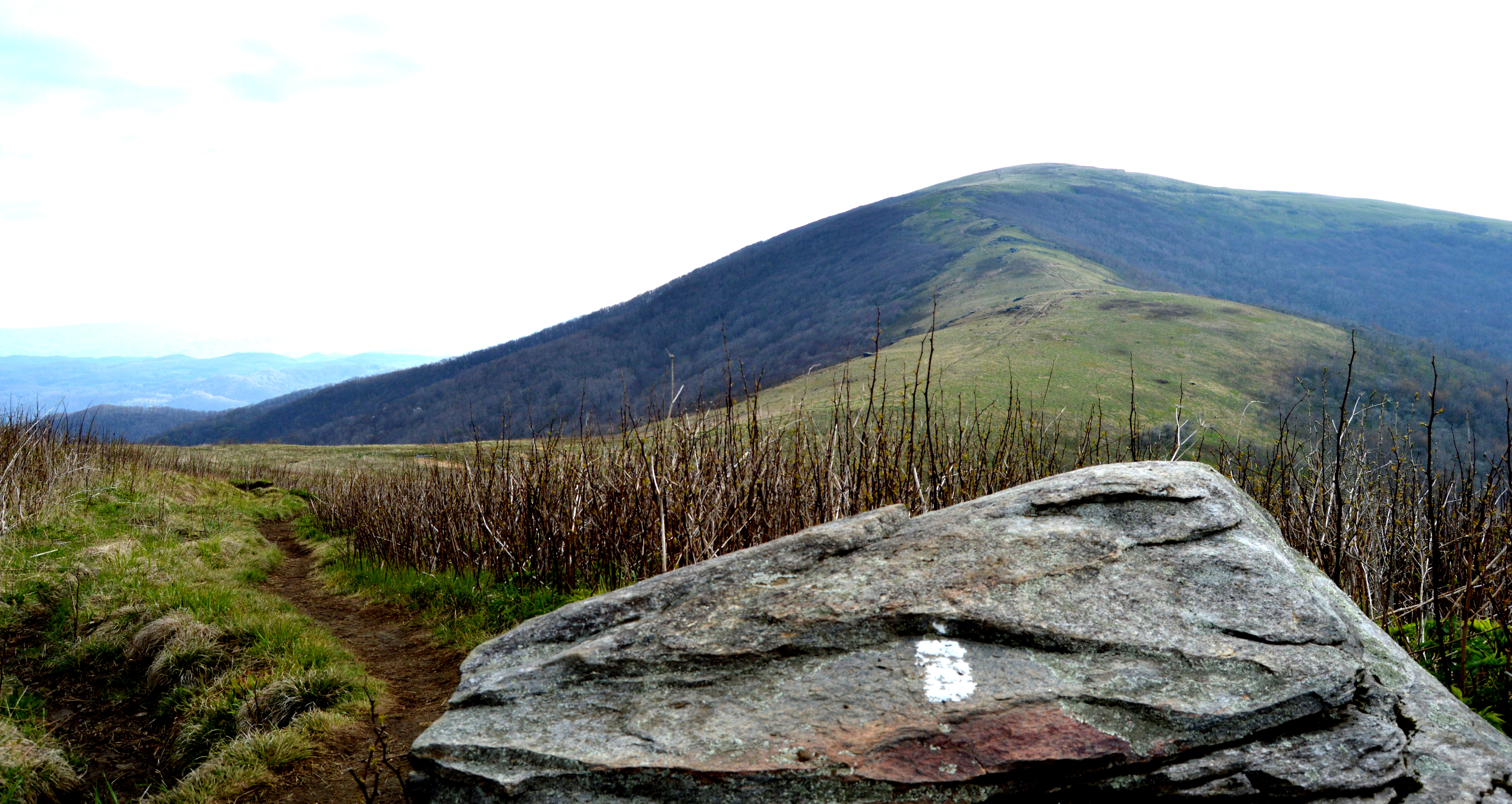
We started our way down Little Hump with Big Hump Mountain watching us from the distance, which created a landscape that reminded James and I of New Zealand. The climb up Big Hump was definitely about the journey itself, one step at a time to reach the top. The 360 degree view was amazing, but the feeling of accomplishment made us feel like champions.
From there on out, we started to hike down some steeper descents, and much rockier trails especially after passing the Dolly Flats campsite. The day before I started to feel a discomfort around a random muscle in my upper thigh, which I tried to ignore as much as possible. Unfortunately, hiking downhill for 6 miles was the worst movement I could do for my leg. At the end of our hike, I hobbled like Frankenstein clinching desperately on to my hiking poles. Even though, pain constantly shot into my leg with every step I took, I kept my chin up. I even said jokingly to James, that all the limping had been just a guise to prolong our stay in this magical place.
After a very painful downhill experience we finally reached the road, which led us back to our car. It always amazes me, that when we reach our final destination all the pain mystically disappears.
[sgpx gpx=”/wp-content/uploads/gpx/RoanMt.gpx”]
Leave a Reply